‘GIS’ (Geographic Information System) Mapping is a computer system for capturing, storing, checking and displaying data related to the Earth’s surface, on one map such as streets, buildings, vegetation, etc. This enables people to more easily see, analyze and understand patterns and relationships. People can derive top information/benefits through five main components of GIS.
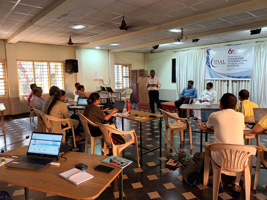
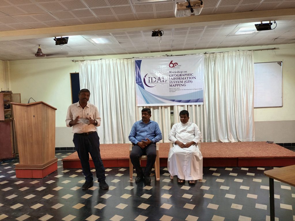
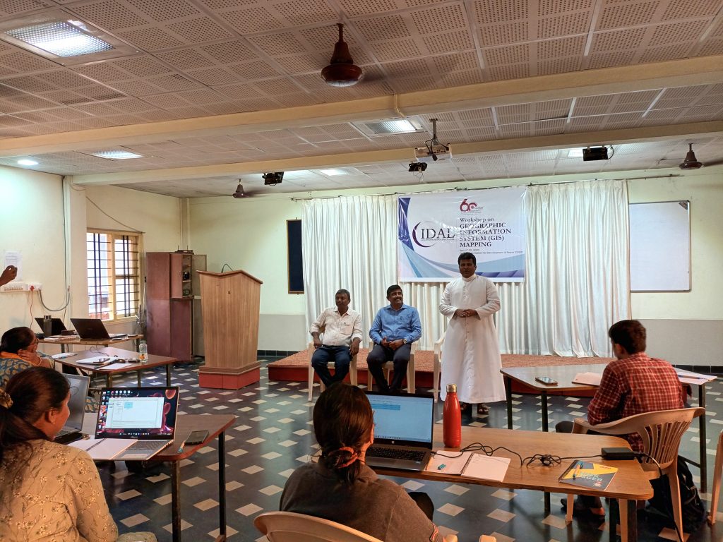
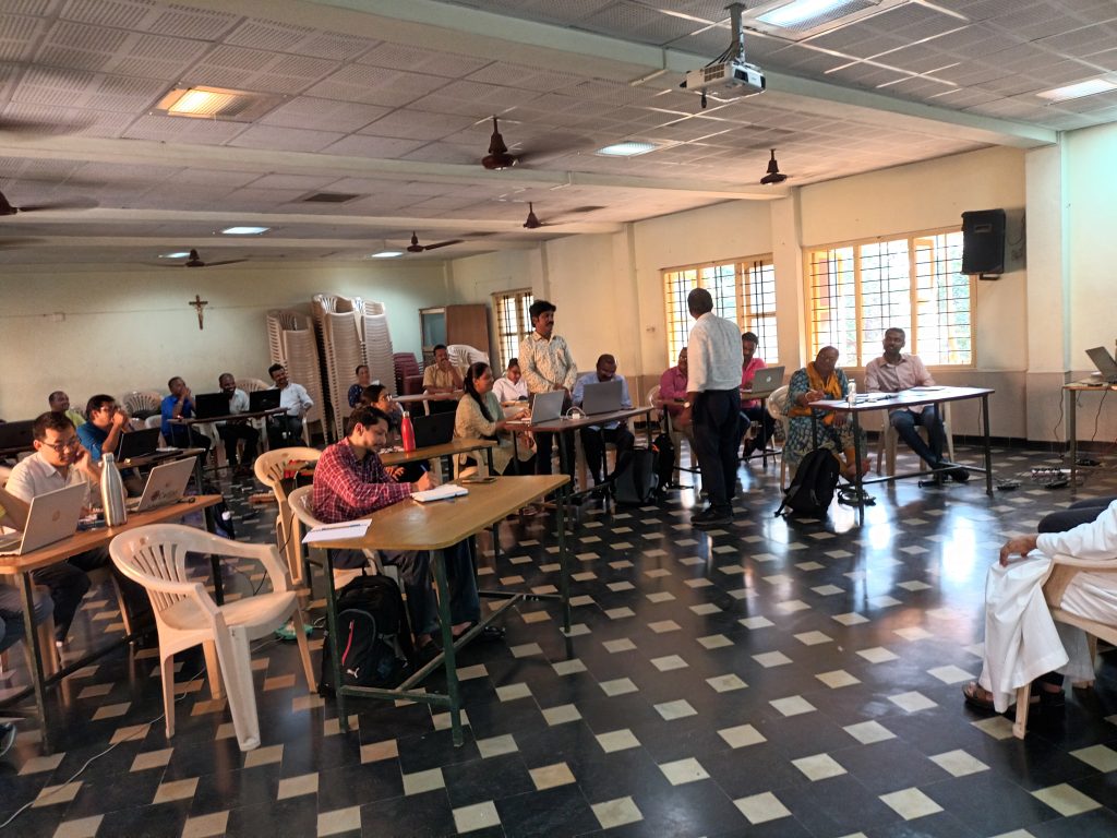
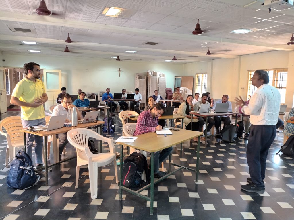
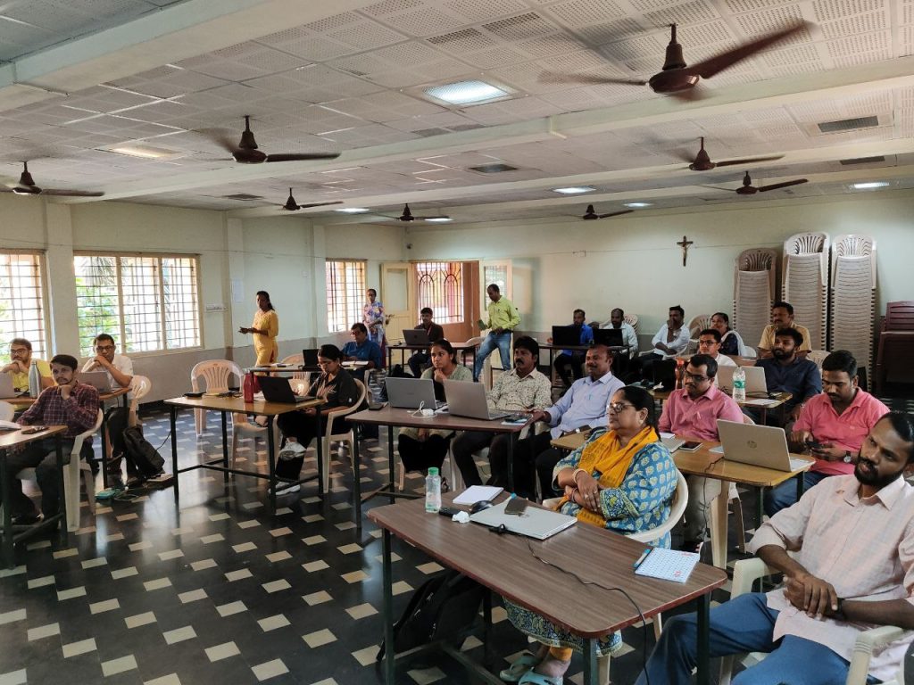
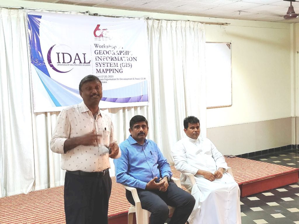
Caritas India, the social development organization of the Catholic Church of India, is organizing a four-days workshop on GIS at CODP Mangaluru from 17th to 20th April 2023. 22 participants from different States will benefit from the input sessions delivered by the resource person; Mr Govinda Kutty, Professor at Govinda Pai College, Manjeshwar.
The workshop is organized by Mr Haridas and Mr Robert DSouza of Caritas India Regional Office at Bengaluru. The keynote address was given by Rev. Fr Vincent DSouza, Director of CODP.
